Categories
The Science of Raster to Vector Conversion

Automatically Identifying Areas for Correction in Raster to Vector Conversion

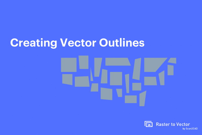
Vectorization changes the characteristics of a raster image, which is made up of pixels. Vectorization transforms these pixels into coordinates in a process that is prone to introducing errors and mistakes. The errors and mistakes form the basis of the measurement of the conversion system’s performance as detailed in the study titled Using local deviations […]

Categories
The Science of Raster to Vector Conversion

Using Quantitative (Rather Than Qualitative) Analysis to Improve Raster to Vector Conversions

A raster to vector conversion (vectorization) aims to fulfill two objectives. The first entails converting paper-based line drawings into CAD-formatted numeric data that can be reused. The second is to enable pre-processing in order to make symbols much more pronounced such that there’s somewhat of a match between the output and input images. The conversion […]

Categories
Raster to Vector Guides

Creating Vector Outlines of Raster Images

Be it for business, for design or for machining, many designers and CAD users will at some point have to deal with creating workable outlines out of reference images. But how do you go about doing so? And what do you do if your reference image is a raster image? Chances are, if you’ve dipped […]

Categories
Raster to Vector Guides

About Scan2CAD

Rastertovector.com is a free service provided by Avia Systems. Avia Systems is a company focussed CAD-centric solutions for Designers and Engineers. Unlike our other products – such as CAD Answers; a Q&A community for CAD professionals or MakerUnion – providing free designs for CNC makers  – Rastertovector.com is designed for the general public who do […]

Categories
The Science of Raster to Vector Conversion

Converting Raster Floorplans to Vector: A Learning-Based Approach

Floorplans begin their lifecycle as vector files since designers and architects usually produce architectural floorplans using Sketchup, HomeStyler, and AutoCAD, which are vector-based applications. However, incorporating clients’ input in the design and approval process requires the rasterization of these vector files by printing or publishing them. The Motivation for the Study While the prints help […]

Categories
The Science of Raster to Vector Conversion

Joining Raster & Vector Datasets in GIS Solutions

Fernando Silva-Coira and friends make great strides, by developing algorithms that accept both raster and vector inputs – a first, in their research article titled Efficient processing of raster and vector data. Through their efforts, the authors solve an issue that was so problematic that it had been ‘shunned’ by researchers in previous studies. In […]

Categories
The Science of Raster to Vector Conversion

Resolution in Vectorization

You may have noticed that some raster images appear sharper than others and are less pixelated when zoomed in at the same level. This is as a result of the difference in resolution, as raster images are resolution-dependent. The resolution of an image is what determines its clarity and quality. Resolution is the number of […]

Categories
The Science of Raster to Vector Conversion

Exploring Accuracy & Possible Data Loss in the Raster-to-Vector Conversion for GIS

The rasterization of vector files or the vectorization of raster files is common, particularly when dealing with geographical information systems (GIS). However, the conversion process gives rise to accuracy concerns, which have, in turn, been the subject of multiple research studies. Russell Congalton, in his research ‘Exploring and Evaluating the Consequences of Vector-to-Raster and Raster-to-Vector […]

Categories
The Science of Raster to Vector Conversion

Raster and Vector Data in Urban Climate Studies

The applications of raster and vector images transcend the usual CAD drawings (such as converting PDF files to CAD), GIS maps, photography, and graphic designs. Simply put, raster and vector uses are extensive. As Gal, Lindberg, and Unger sought to find out in their 2009 research paper titled Computing continuous sky view factors using 3D […]

Categories
Raster to Vector Guides

Converting PDF Files to CAD – Which Software Should I Use?

The PDF file format is the most common way to share digital documents for good reason: it’s compact, convenient, and clean. Need to send a multi-page info sheet to the team without the risk of messing up your page layouts? Export it as a PDF and email it without worry. Have a set of technical […]